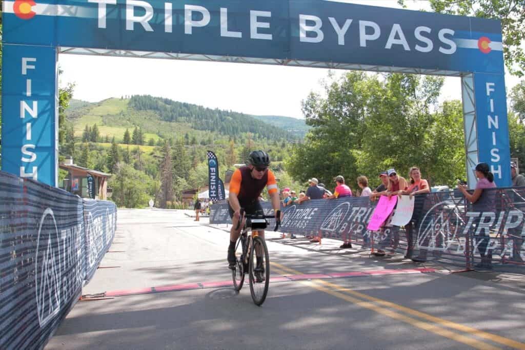
The Triple Bypass bike ride is a marquee event taking place in the Colorado high country. Typically occurring in late July, the ride takes you from Evergreen, CO to Avon, CO, traveling 118 miles, climbing over three mountain passes, and gaining a total of 10,800 feet of elevation, with the highest pass reaching 12,000 ft above sea level.
This is a bucket list ride for anyone living in Colorado, and should be for anyone in the states looking for an epic challenge. There are not many places in the world where you can find this type of high-elevation ride on roads mostly closed from car traffic. Team Evergreen is the ride organizer and does an outstanding job with logistics and support. The views are epic, and the weather is unpredictable, with rain, hail, snow, or all sunshine possible.
The Triple Bypass will challenge all riding levels due to the length, amount of climbing, and elevation that you ride at. The oxygen is thinner in the Rocky Mountains, so be prepared for everything to be harder!
This is my personal story of how I completed the Triple Bypass in under 10 hours of moving time and under 11 hours of total elapsed time. I aim to inspire anyone who is considering taking on this challenge that it is achievable, and they should go for it. It is an accomplishment that you will always be proud of. Every year you wait, it will only be another year you did not do it.
The Triple Bypass Route
The Triple Bypass course is advertised as 118 miles and 10,800 feet of elevation gain, though it changes slightly every year based on where it finishes.
Registration typically opens in early January and can be found at triplebypass.org.
The 2023 course started in Bergen Park, Evergreen, Colorado (where it always starts) and finished in Avon, Colorado, where Beaver Creek ski resort is located. It includes four aid stations and one hydration station. You can have family and friends meet you at aid station three, which is Loveland Ski Area (there is parking at the ski resort) and at Copper Mountain (there is parking all along the route through Copper Mountain Village).
| Aid Stations | Location | Mile Marker |
|---|---|---|
| Aid Station #1 | Echo Mountain | Mile 11 |
| Aid Station #2 | Georgetown | Mile 40 |
| Aid Station #3 | Loveland Ski Area | Mile 55 |
| Aid Station #4 | Summit High School | Mile 77 |
| Hydration Station | Top of Vail Pass | Mile 94 |
Note: Every aid station has restrooms, snacks, water, and hydration mix. In 2023, The Feed sponsored the ride, so there were also energy gels available.
You have to start the ride by 8am, but it is recommended to start earlier (you can start as early as you want). Colorado’s law requires you to have front and rear lights on the bike when starting before sunrise, which is around 5:50 am in July. I started my ride at 5:30 am, and would recommend starting by 6:30 at the latest.
You have to make it to each aid station by the following cut-off times, otherwise you have to end your ride and get shuttled to the finish line.
- Start cut-off: Evergreen 8am
- Aid 2 cut-off: Georgetown 12pm
- Aid 3 cut-off: Loveland Ski Area 2pm
- Aid 4 cut-off: Summit High School 4:30pm
The weather in the mountains in July is quite unpredictable. You could have an entire day of sun, which I did for the 2023 ride (this is rare). You most likely will have rain or a thunderstorm in the afternoon, which is typical for July in the mountains. When it rains, the temperatures drop pretty significantly. If you are unlucky, you could get snow and hail. My wife rode the Triple in August 2022. It rained for her descent of Juniper pass in the morning (also uncommon) with 40 degree temperatures. Later in the day, it hailed while she rode from Frisco to Copper Mountain.
Clothing to Wear
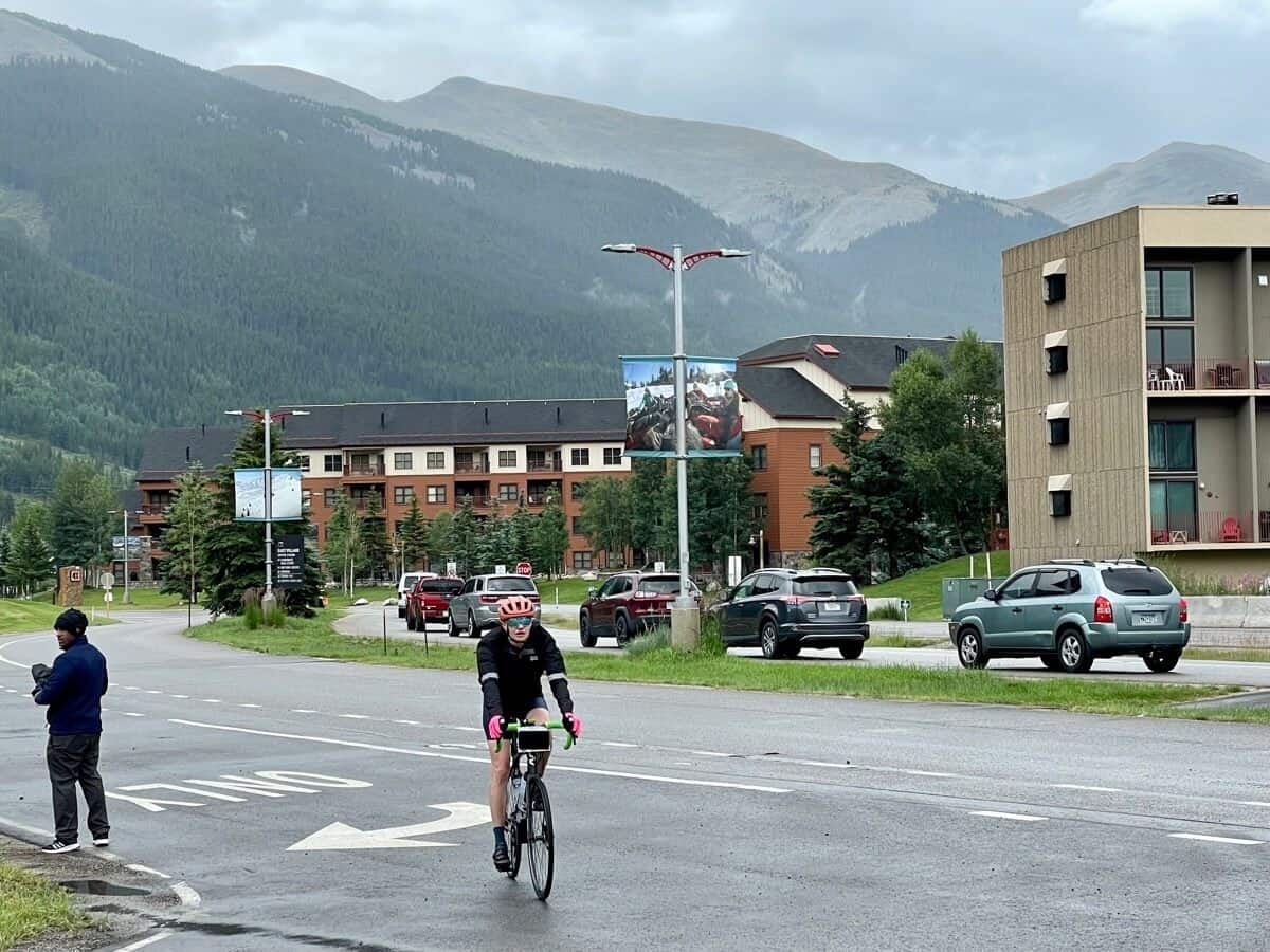
It will be chilly starting out, so I would wear the following and bring the rest with you, preferably a bar bag of some sort:
- Short sleeve jersey
- Arm sleeves
- Vest
- Fingerless gloves
Clothing to Bring
Some of this would depend on the weather forecast:
- Rain Jacket
- Buff – can be worn around neck or head if cold
- Full finger gloves
- Knee warmers
Top Tips to Complete the Triple Bypass
- Get a professional bike fit to ensure you are in the correct position before beginning any long-distance training.
- Get all maintenance work done on your bike two weeks before the ride.
- Consider getting a power meter for training.
- Ride all the passes ahead of time. If you can only do one, ride Idaho Springs to Loveland Pass.
- Be comfortable descending. There is a lot of it, and you would rather not be tense when you should be using the time for recovery.
- Practice consuming 60–90 grams of carbohydrates and hour well ahead of the ride. You need to eat a lot on a long-distance ride.
- Stop at all aid stations.
- Only take an extended break at aid stations if you absolutely need it, as too long can tighten up your legs. Get in and get out!
- Pay attention to where you keep your bike at aid stations, so you don’t waste time looking for it when you’re ready to keep riding.
- Bring enough of your own food, gels, and hydration to get you through the ride in case you do not like what is offered.
Summary of My 2023 Triple Bypass Ride
To give you a better idea of how long it may take you, here are my overall stats on the day of the Triple Bypass ride and the overall elapsed time it took me to make it to each aid station and the finish.
I was mostly concerned about finishing the ride and not cramping in my legs, so I watched my power meter closely and tried to stay in my Zone 2 power for most of the ride.
My Triplebypass Metrics
| Metric | Result |
|---|---|
| FTP | 224 watts |
| Weight | 175 lbs |
| Average Power | 118 watts |
| Normalized Power | 138 watts |
| Average Speed | 12.6 mph |
| Max Speed | 47.4 mph |
| Total Moving Time | 9:23:06 |
| Total Elapsed Time | 10:35:06 |
I am a pretty average rider. Prior to this, my longest ride was 65 miles and the longest I’d been in my saddle was six hours. There are plenty of people riding the Triple as if it’s just another day on the bike. And there were plenty of people like me, where the Triple is a stretch goal ride. This post should give you an idea of what you can expect from my perspective.
My Aid Station Times
| Aid Stations | Location | Mile Marker | Elapsed Time Reached |
|---|---|---|---|
| Aid Station #1 | Echo Mountain | Mile 11 | 1:31:50 |
| Aid Station #2 | Georgetown | Mile 40 | 3:25:22 |
| Aid Station #3 | Loveland Ski Area | Mile 55 | 5:23:43 |
| Aid Station #4 | Summit High School | Mile 77 | 7:45:38 |
| Hydration Station | Top of Vail Pass | Mile 94 | 9:29:12 |
| Finish | Avon, CO | Mile 118 | 10:35:06 |
The Triple Bypass Ride Experience
You start the ride in Bergen Park in Evergreen. There is a church and a park-and-ride where you can get dropped off. There is public parking there, but it is recommended to get dropped off if you can. It is easier and less stressful, and then your support team can meet you at Loveland Ski Area and Copper Mountain, with a ride back home after the finish in Avon.
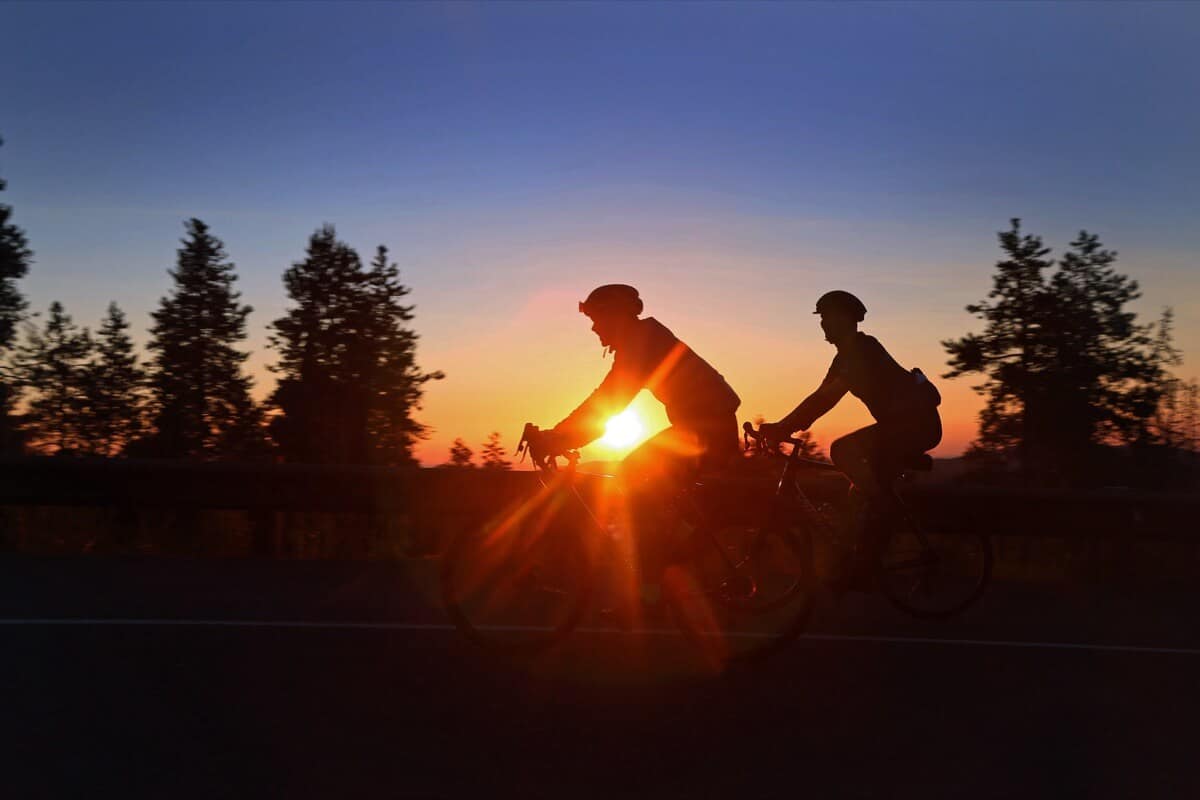
I began my ride at 5:30 am, just before sunrise!
Juniper Pass
The start of the ride takes you up Juniper Pass to an elevation of 11,130 feet. The climb is approximately 15 miles and the gradient averages just over 4%, with a couple short pitches nearing 10%. The steepness isn’t what gets you, but instead the length and elevation of the climb. It is important to pace yourself for this section.
Tip: It is easy to go out too fast, since your adrenaline will be pumping. This can result in burnout for the hardest stretch from Idaho Springs to Loveland Ski Resort.
If you start before sunrise, you will experience cool temperatures and a beautiful sunrise. Until the first aid station at mile 11 (Echo Mountain), you are in the trees and won’t realize how high up you are until the last 3 miles to the top. There, you will be treated with sweeping views and probably still snow-capped peaks.
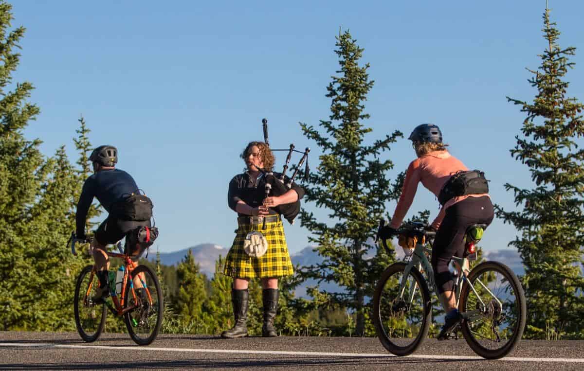
There will be all kinds of spectators and entertainment along the ride. This year I was treated with bagpipes!
I reached the first aid station feeling great. I took my time climbing, stuck to my power numbers, and paced myself. I had a friend who started 45 minutes after I did (we typically ride at the same level), but he caught me at Loveland aid station (so he was flying). By the time we reached the top of Loveland Pass, he was in rough shape and ended up finishing in Avon over an hour after me. So be careful!
Tip: Do not skip this or any aid stations! You might be tempted to, but top off your bottles and get something to eat (there’s typically bacon at the first station). The next aid station isn’t until mile 40. After the descent, it is a slight uphill the rest of the way there. Once the sun is out things heat up quickly in the mountains.
After the aid station, there are still a few miles of climbing before the top. When you reach the top, you will pass Mt. Blue Sky Road (formerly Mt. Evans, which was renamed in the fall of 2023) and Echo Lake, before descending into Idaho Springs. The road down to Idaho Springs is a wonderful descent. The tarmac is well-maintained, and the corners are not too sharp. What comes up must go down – after 15 miles ascending, you have approximately 15 miles of descending.
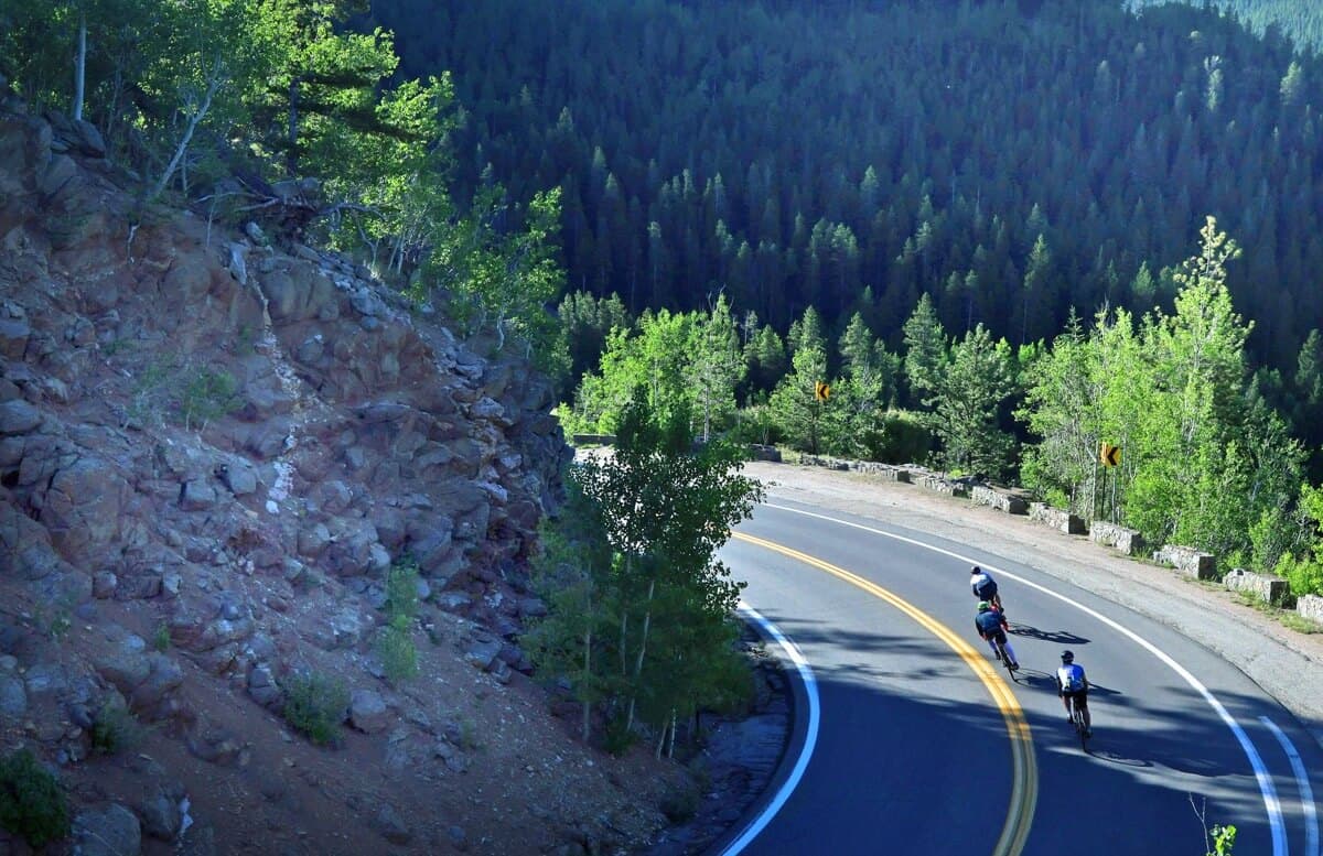
It will most likely be chilly descending into Idaho Springs, so throw on your vest. If it is wet, take your time, you have a long way to go and you would rather not ruin your ride with a crash.
Note: There is a lot of descending on the Triple Bypass Course. In fact, there is more descending than ascent with a total of 11,121 feet. This is an excellent time to recover, so try to relax on the descent. If you are tense, you will add additional fatigue to your shoulders, making the long day even longer.
Idaho Springs To Loveland
After descending down into Idaho Springs, you will begin the hardest leg of the ride. They say if you can make it to Loveland Ski Area (Aid Station #3) at Mile 55, you can make it to the finish. And I agree. This stretch from Mile 30ish to mile 55 is deceivingly difficult. It is long and all uphill. Pace yourself again and do not go too hard from Idaho Springs to Georgetown, it is a bit of a false flat and easy to get carried away.
The second aid station is just east of Georgetown at Mile 40, and you can look forward to doughnuts here! Fuel up, hydrate, and put some extra sunscreen on!
After aid station #2, you will continue through historic Georgetown, where you will climb up and under the old railway (still functioning). This part of the ride closely follows Interstate I-70, the major artery through the mountains. After a short ride along the Interstate on the protected bike path, you will drop back down onto local roads and follow along the river until you reach the bike path leading to Loveland.
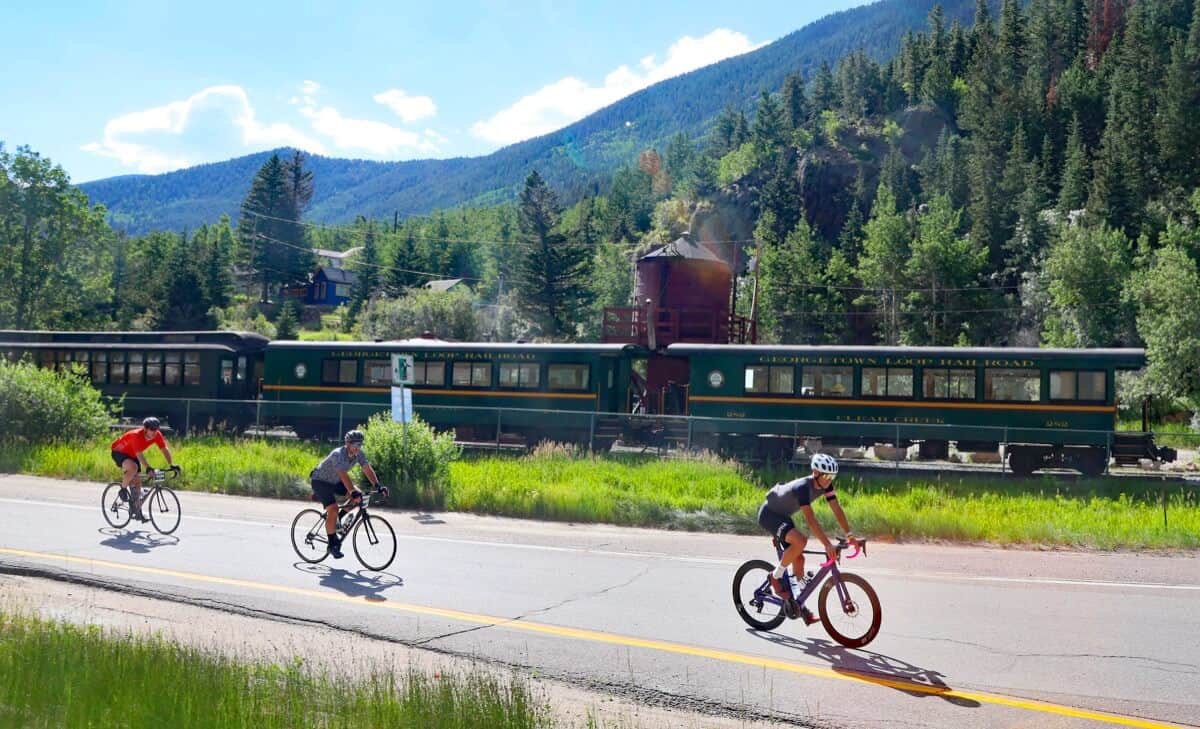
This bike path is all in the trees and seems to go on forever. It was the most difficult part of the ride for me, despite it not being a long climb. It is a very up-and-down path with some steep stretches, which require you to get out of the saddle and power up for a few seconds, followed by flat sections, and then repeat. This kills your legs and doesn’t allow you to get into a rhythm like the rest of the ride.
At this point, it was hot out. Unlike most Triple Rides, where it rains, it ended up being over 90 degrees at the finish in Avon. So the shade was a relief! I had my jersey unzipped for the rest of the ride.
Tip: If there is one training ride you should do ahead of time, it’s Idaho Springs to the top of Loveland Pass. Knowing what to expect made this much easier. Many people are in rough shape and went too hard through this section since they didn’t know better.
Once through the bike path, you will drop down a short descent into Loveland Ski Area, which is the third aid station. Be careful heading into the aid station. The surface quickly turns from pavement to gravel with a sharp turn and a minor uphill, causing frequent minor crashes. This is the largest aid station, which also includes parking for friends and family to meet you. They have huge tents to sit down and eat the sandwich lunches provided by the organizers.
Reaching Loveland was a massive relief for me. At this point, I knew I was through the hardest part of the ride. Despite being tired, knowing that there was a long descent coming up at the top of Loveland pass really kept me motivated. My wife met me at Loveland, which was an added bonus.
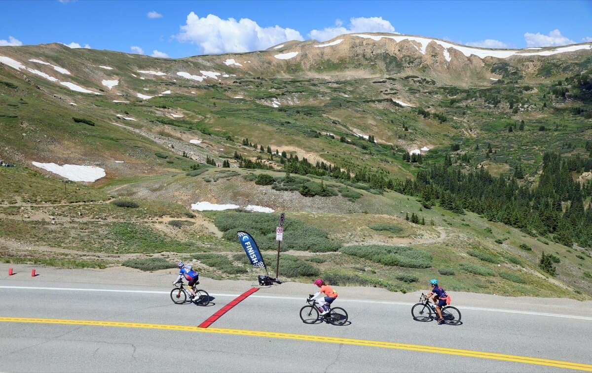
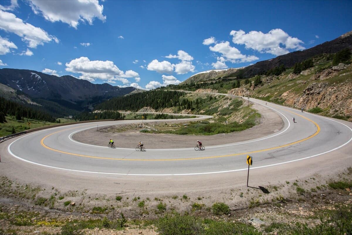
After you are fueled up, you will begin the final push to reach the top of Loveland Pass, which stands just shy of 12,000 feet at 11,991 feet. The climb is approximately 4.5 miles long and 1,100 feel of elevation gain, averaging around 4.5% in gradient, with a max grade around 9%. It is not a terribly steep or long climb, but what gets you are three hairpin turns and the fact that you finish close to 12,000 feet above sea-level.
Just know after the climb you are treated by a long descent into Keystone and terrain until Swan Mountain (approximately 12 miles). Additionally, on the climb you will be treated with spectacular views of the continental divide and Loveland Ski resort.
The ride organizers arrange for Loveland Pass to be closed to vehicular traffic during the Triple. Riding Loveland Pass, which is a highly trafficked road, without traffic is a unique experience. As you ascend away from I-70, take in the mountain views and the quietness of the ride.
At the top of Loveland Pass, stop and get your iconic picture beside the sign!
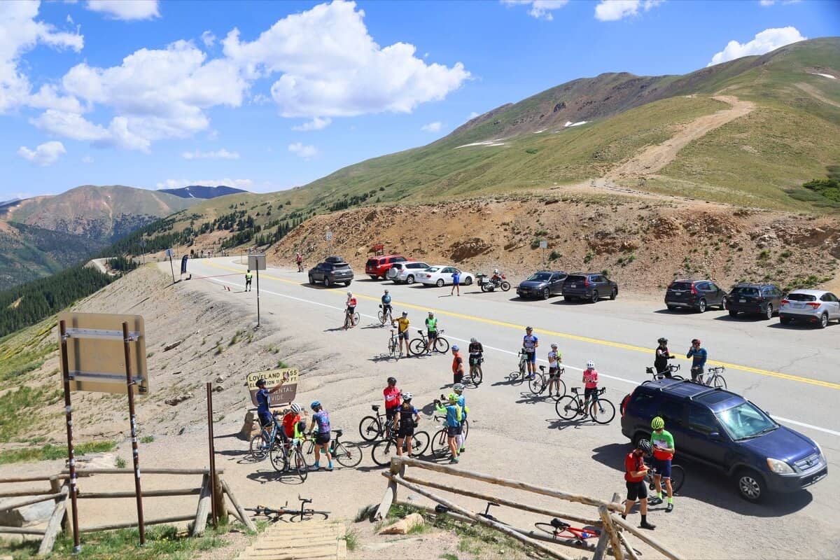
Loveland Pass, was really difficult for me. Despite feeling alright at the last aid station, my legs got really heavy as soon as I started climbing. My power was totally gone, and my cadence dropped significantly. I had to get in and out of the saddle a lot to make it to the top. My biggest motivation was that someone jumped on my wheel, which kept me going!
Loveland Pass to Copper Mountain
The descent to Keystone takes you past Arapahoe Basin (A-Basin) ski area. This first section of the descent is fast and has a few hairpins, which require you to shed speed into the turns. Take this section at your own pace and know that it can get windy through this section. The road is well-maintained and smooth, just be extra careful if it has started to rain at this point, which is not unusual after 12 pm. Once past A-Basin, the road becomes much straighter. The turns are mellow enough that you can go as fast as you like as you continue to descend into Keystone.
As you pass Keystone, you will be on the main road that leads into the town of Dillon, CO. This is one of the few roads that is not closed to car traffic, so you will need to stay on the shoulder until you reach Swan Mountain.
This is a great time to get in some recovery and relax as much as possible.
Swan Mountain, while short relative to all the other passes, is still approximately 2 miles in length with 500 feet of elevation gain. It can catch you off guard. Keep riding at your pace, as you still have a long way to go.
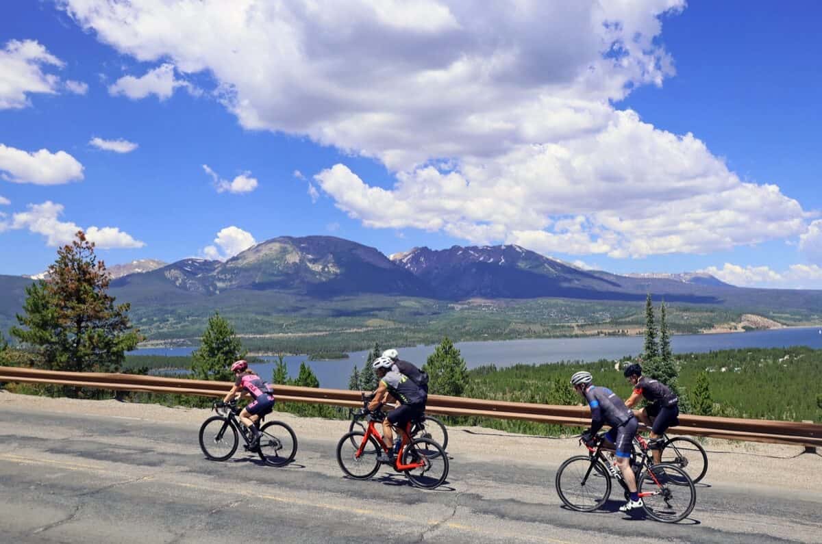
Upon reaching the summit of Swan Mountain, you will descend to the other side and reach Summit High School, the fourth aid station (Mile 76). At this point, I was starting to believe I would finish the ride.
Tip: This is the last fully stocked aid station, so fuel up. You still have 42 miles to go until the finish. The aid station on top of Vail Pass is just a water refill and bathroom, so grab enough food and gels to get you to the finish. Don’t stop eating just because you are in the final stretch. The dreaded bonk can come at any time.
From aid station four to the top of Vail Pass, it is 18 miles and approximately 1,700 feet of elevation gain. You will be on the Ten Mile bike path for the majority of it. The stretch from Frisco to Copper Mountain is a false flat, so prepare for it to be harder than expected.
Copper Mountain to Finish
Copper Mountain is the last place where family and friends can meet you before the finish. I recommend utilizing this to grab more food, pick up new clothes layers, or just use it as a little motivation boost until you reach the finish. There are plenty of parking options along the road through Copper for them to meet you.
The final climb up to Vail Pass begins at the end of Copper Mountain, where you rejoin the Ten Mile bike path. The Pass is approximately 5 miles and less than 1,000 feet of elevation gain, taking you up to 10,662 feet above sea level.
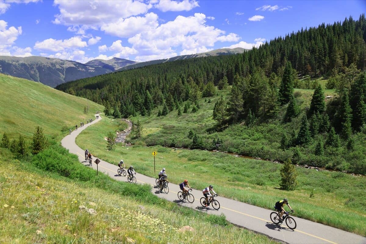
Normally, Vail Pass is easy for me, as I have ridden it a handful of times. However, eight hours into my ride, having never been on the bike that long, it was brutal for me. I lost all my power and was just grinding the whole climb up. I was getting passed by more people at that point than any other time during the ride, but I knew this was the last big test. That kept me going until I got to the top. The view behind you is spectacular, so don’t forget to turnaround once you reach the summit.
At the top of Vail Pass, mile 94, there is a hydration station. You still have another 24 miles to go to get to Avon. I assumed this was all downhill, and when you look at the elevation profile it appears to be so. However, the last 10 miles rides as if it is flat, and there was a big headwind when I rode it. I skipped the hydro station and ran out of water before the finish, so do not make my mistake.
The descent into Vail is a fast, and in some areas a tight, descent on the bike path. You will be exhausted at this point, so stay at your comfort levels. Don’t be a hero here. Descend safely — you are so close to the finish. This is the most technical descent of the three passes.
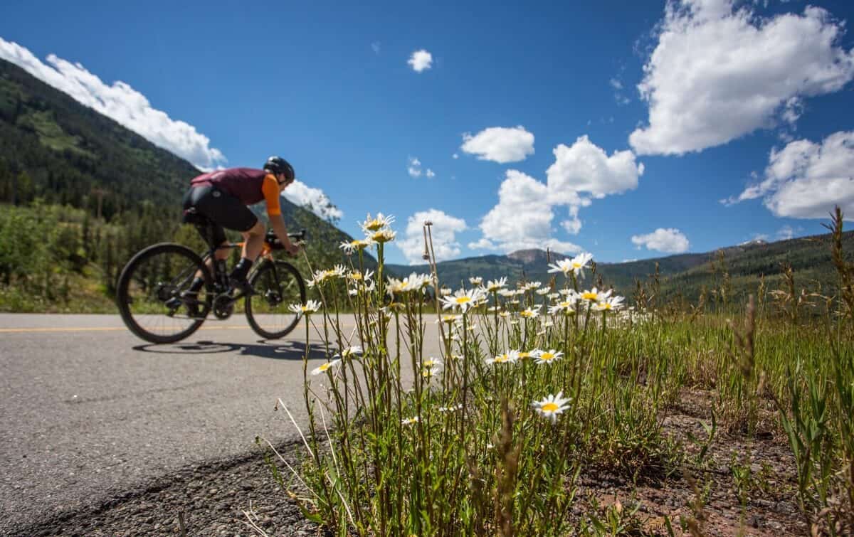
After descending, you enter into the local frontage road at Vail. Here is where it begins to level off and feels more flat than downhill. I was greeted with a pretty steady headwind. With 10-15 miles to go, I was exhausted. With the headwind, I was barely going above 12 miles per hour, which would have meant more than an hour to go.
My saving grace was when a group of 15 riders came from behind and cruised right past. A rider was trailing them in the back, came up to me, and said, “Let’s catch them”. This rider brought me back from the depths of defeat. He helped me muster the last bit of energy I had no idea was there. I jumped on his wheel, which was enough for us to catch this group moving a little over at 22 mph. I was able to stick to this group, not having any energy to take a turn on the front, but rode it until the final half mile to the finish when we entered Avon. I then tailed off and cruised across the finish line, unable to smile for the finish camera.
As I crossed the line, I found my wife waiting and just collapsed. I had never done anything like this before, having been on the bike three hours longer than my previous longest ride. I was overcome with emotions, almost in tears. Just one year earlier, when my wife finished the ride, I had told myself that I could never do it.
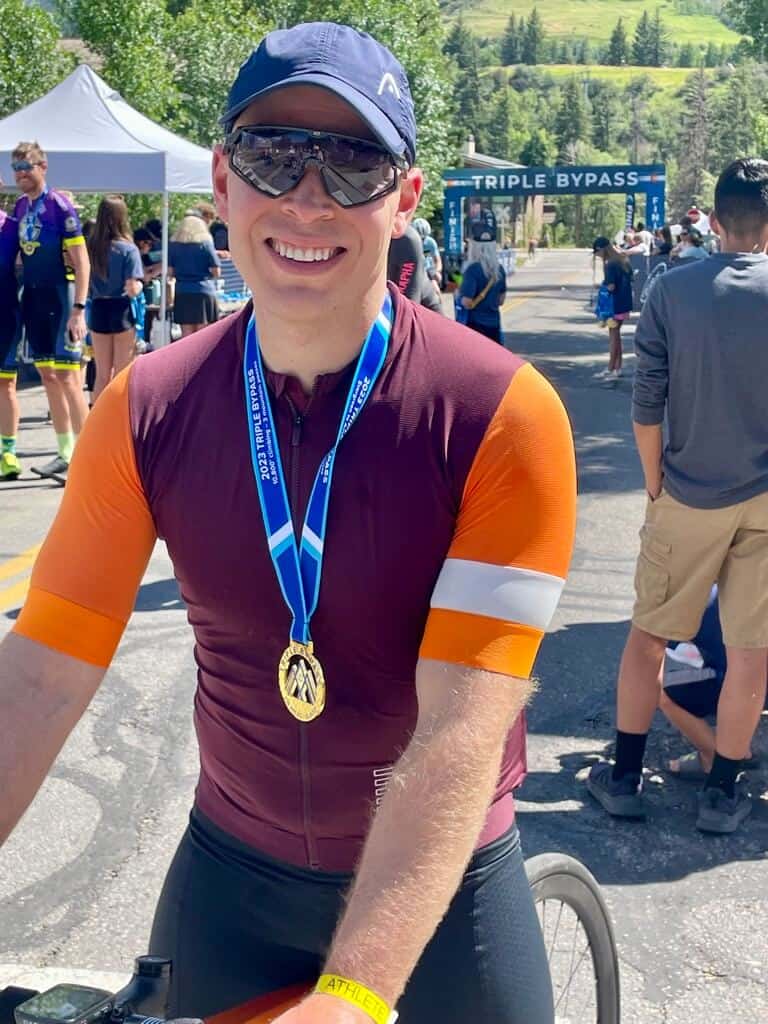
I was able to compose myself for a final finish photo and then grabbed a much-needed beer. I drank a protein shake my wife had brought, but after eating gels all day, I couldn’t stomach a real meal until I got back home later that evening.
After Thoughts
If I were to ride the Triple Bypass again, I would have focused more of my training on performing sweet spot rides and V02 max intervals, in order to increase my FTP. This would have allowed my Zone 2 threshold to be higher and get me through the ride faster. My biggest issue was that my w/kg was too low. Even in my easiest gear, I was grinding away at a cadence in the 50s for the climbs. Having a higher FTP would have helped me be able to spin at a higher cadence in my easier gearing, allowing me to not wear out so quickly.
With that said, I would not have changed anything I did for the ride this year. I was coming from such a low volume and had never focused on endurance activities in my life. Focusing on low Zone 2 rides was the right choice for me to be able to stay out longer on the bike. My results speak for themselves, as I did not cramp much all summer and not at all on the day of the Triple Bypass.
I believe I would enjoy myself more in the future if I was able to focus more on just having fun and riding hard versus focusing on not cramping and staying in my zones. With that said, a ride of this caliber will always require a pacing strategy. In the future, I wouldn’t focus on it as much and just enjoy the ride.
Let me know your thoughts on how your ride went down below. Or ask any questions on what to expect if you’re riding for the first time this year.

