Distance: 9.2 Miles – Loop
Elevation: 748 Feet
Safety Rating: 4 of 5 Stars (1 lowest – 5 Highest)
Difficulty: 3 of 5 Stars (1 easy – 5 Hard)
Road or Bike Path: Road
Highlights: Restroom at parking, dinosaur fossils, Red Rocks Amphitheater, options to extend the route. Short with a lot of climbing. A good route if you only have an hour to ride.
Cons: Red Rocks has concerts every evening from spring – to summer, so this route should be avoided. Red Rocks gets a lot of tourism car traffic.
Starting Point: Park at the Rooney Road Trailhead on the west side of Green Mountain. https://maps.app.goo.gl/Xkw1iMyu6viT8pTX7
Ride Overview
This is a very scenic route and one of my favorite Denver bike rides. The route takes you right past dinosaur footprints (via Dinosaur Ridge) and through Red Rocks. It is great for those visiting from out of town or dads who are short on time, as this ride can be done in less than an hour. If you are looking to get a longer ride in, there are options to extend the ride by going to Lookout Mountain first or looping around Littleton via the C470 trail at the end.
This route mainly follows roads, but most of them are not heavily trafficked. The sections with traffic typically have speed limits of around 20-30 mph. The route has three climbs, with two categorized and one additional uncategorized, making it a moderate 3 out of 5 on the difficulty scale. While the climbs are short, they will certainly get your heart pumping!
The Ride
Start out at the Rooney Road Trailhead, which is a 20-minute drive west of Downtown Denver. In the summer, parking fills up quickly, so plan on getting there early. Note: There is a bathroom at the trailhead to use before you start.
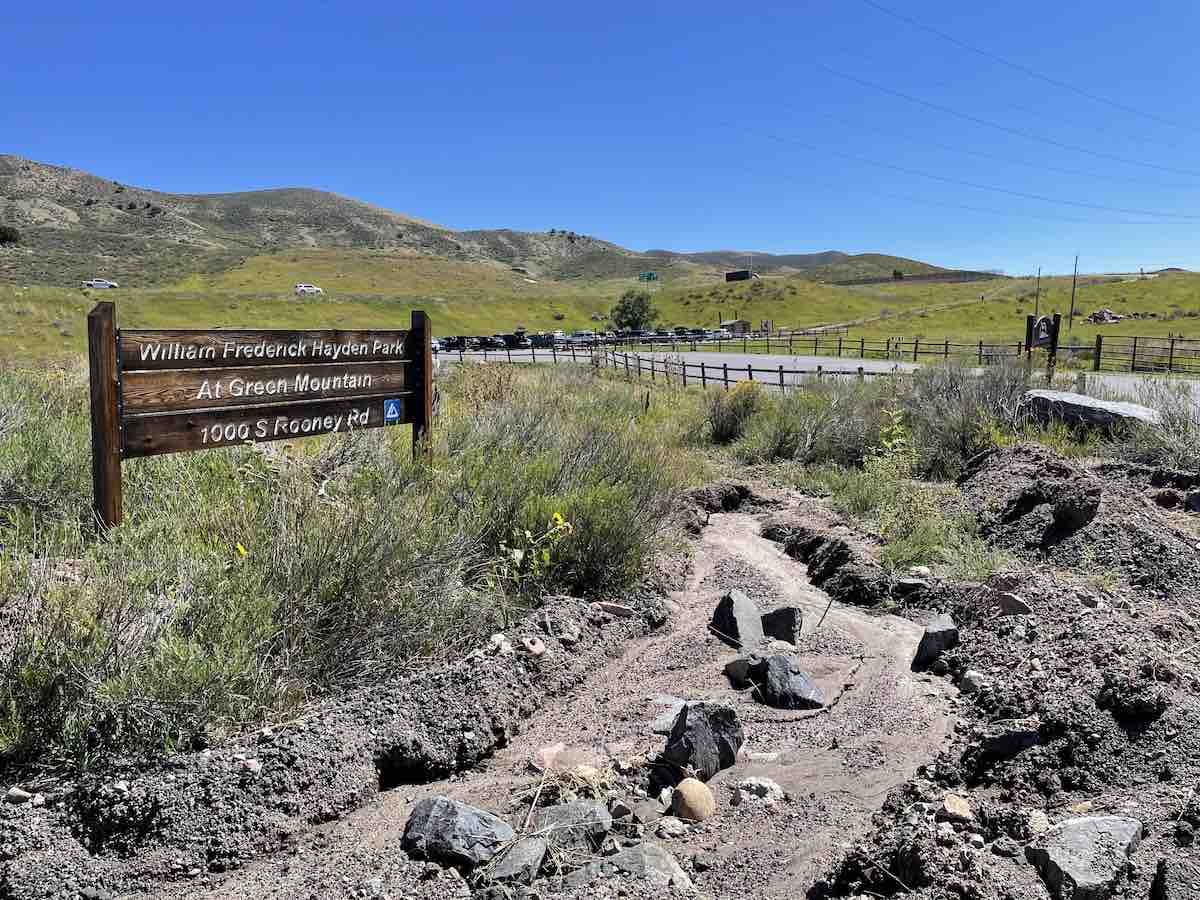
Once you are geared up and ready to go, you will take a left out of the parking lot heading south on Rooney Road. You will be able to see Dinosaur Ridge in the distance.
At the bottom of Rooney Road, you will veer to the right and through the gates to Dinosaur Ridge: Note: Dinosaur Ride is closed to cars, except for the tour bus that drives on the right. They have designated bike lanes on the left-hand side, so enter through the gates there. Caution as you head through the gate – watch for descending bikers coming through as it is a two-way entrance.
As you climb Dinosaur Ridge feel free to stop along the ride up or down the other side. Dinosaur Ridge is rated the #1 track site in the nation due to how accessible it is to see them. You will be riding right by them! If you want to learn more check out the Dinosaur Ridge Visitor Center back at the bottom of Rooney Road. You will pass it on your way back to the car.
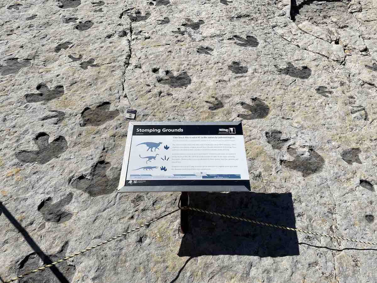
Alternatively, there’s a handful of competitive Strava segments up Dinosaur Ridge, so go all out on the climb for a top 10 on “Up & Over the Dino“, “2 min int gate to first pergola“, or “Dinosaur Ridge Climb gate to top of straight“.
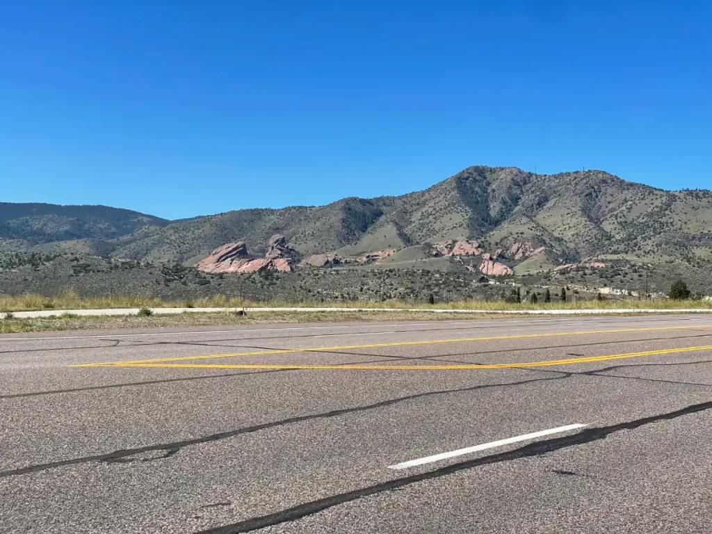
After reaching the top of Dinosaur Ridge, you will loop around to drop down the other side. As you are descending the other side of Dinosaur Ridge, you get your first glimpse of Red Rocks Amphitheater. That’s where you are headed!
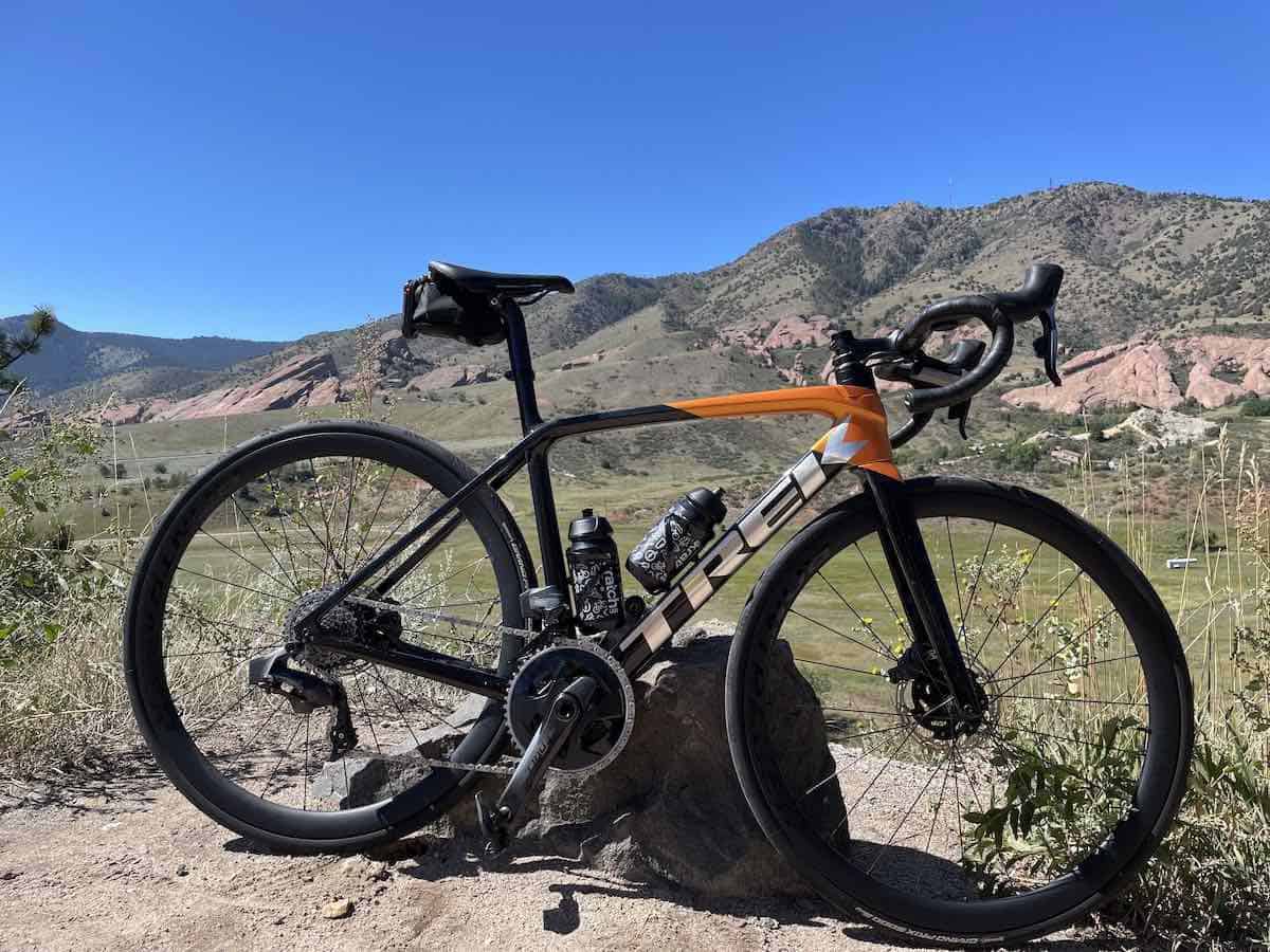
After descending down Dinosaur Ridge, you will cross Highway 93 and start climbing up to Red Rocks. Note: Red Rocks is a shared road for both cars and bikes. For most of the ride, there is a designated bike lane except toward the top. Most cars are driving slowly, but they are usually paying more attention to the scenery. However, I have never had any issues.
Once you reach the summit, you have two options: continue straight ahead on the road leading to the Amphitheater, or take a left turn as indicated on the route and head down towards the town of Morrison. If you decide to go up to the Amphitheater, keep in mind that you will need to return back down the same road to the turn on the route. Additionally, you should be prepared to encounter many slow-moving cars if you choose to head up to the Amphitheater.
As you descend down into Morrison make sure to take the right-hand turn at the stop sign where it indicates “C-470 via Morrison”. The descent after the turn has a few sharp hairpins, so take it easy if you are not comfortable and watch out for cars and pedestrians. If you ride this first thing in the morning you will probably catch a glimpse of some deer that hang out at the park.
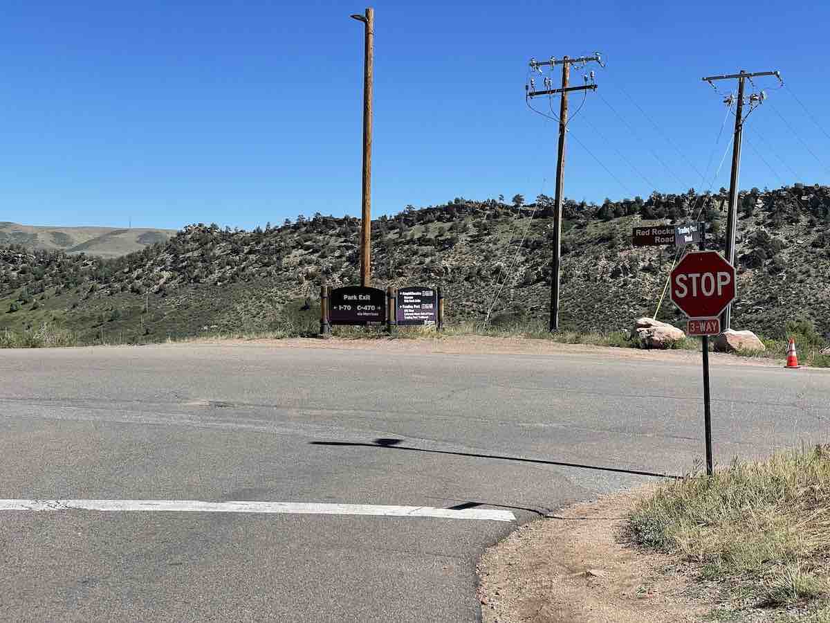
After descending you will come to a stop sign, stay left on Red Rocks Park Road, and then you will take a left again at the next stop sign onto Bear Creek Road. This road quickly runs into the town of Morrison where the speed limit is 25 mph. Note: On weekends the town of Morrison gets alot of tourism, so there can be some traffic backups.
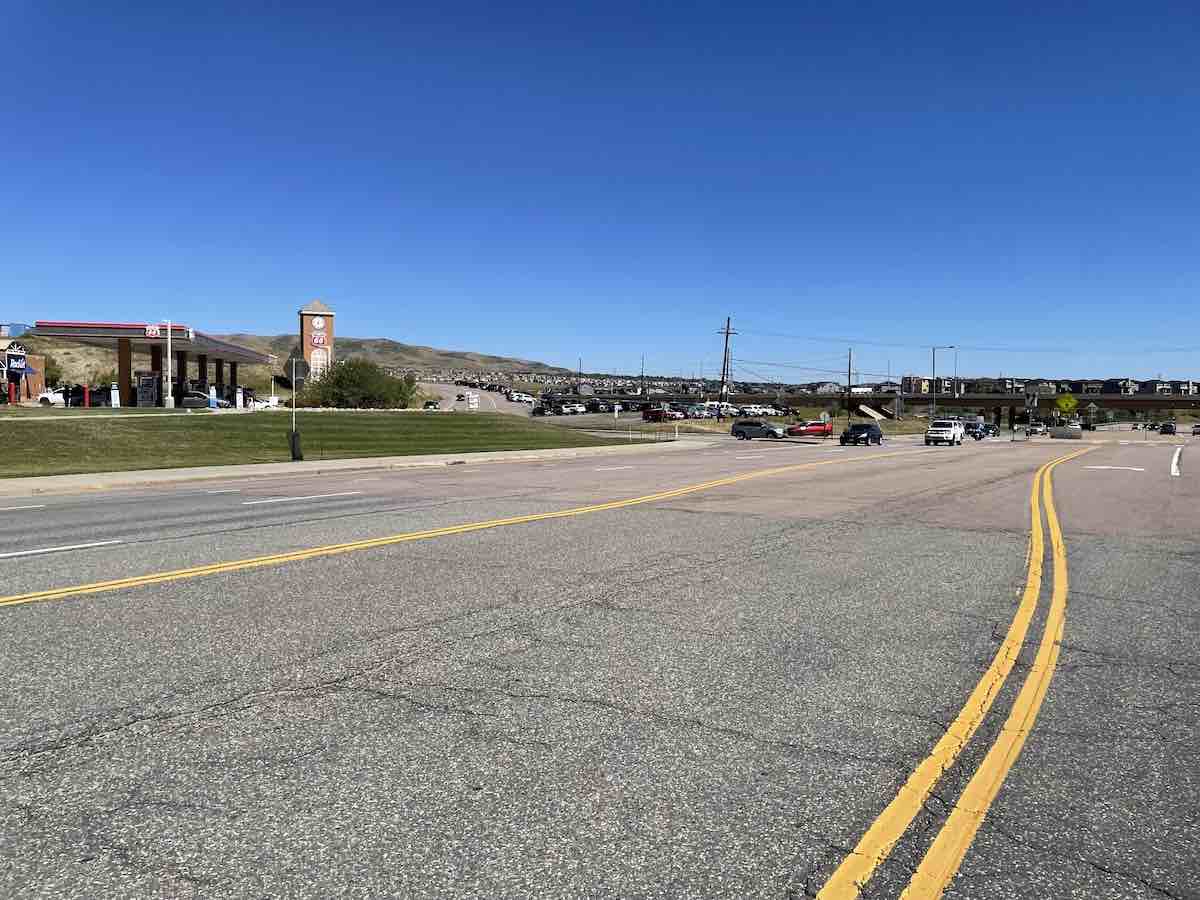
Once you pass through the Town of Morrison, take a left onto South Rooney Road (located next to the gas station) before C-470. Follow this road, which has a large shoulder and is mainly used by local traffic, until you reach Alameda Parkway. Although this section is not a classified climb, it is slightly uphill and can be difficult on windy days due to headwinds. Turn left at Alameda Parkway and reconnect with Ronney Road near Dinosaur Ridge, which will take you back to your car.
Add-ons
- Lookout Mountain to Red Rocks: If you’re up for a challenge, try heading north instead of starting at Dinosaur Ridge. Lookout Mountain is a popular climb in the Front Range and can be connected to Red Rocks. Below is the GPS route for this ride, and I plan to provide a more detailed description in the future.
- C470 – Mary Carter Greenway – Bear Creek Bike Path Loop: Instead of going back up Rooney Road after coming down Morrison, you can take a loop around Littleton. I have written about this ride in a previous post.
I hope you enjoyed the ride! Leave a comment down below if you tried the ride out. Did you extend it with any of the add-ons?

How about the MTB loop?
Dakota Ridge is a popular Mountain Bike ride over there, but it is above my ability level! I will get some Green Mountain MTB rides up in the future though.