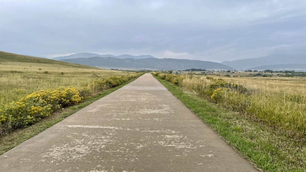
Distance: 35.2 Miles – Loop
Elevation: 1,402 Feet
Difficulty: 2.5 of 5 Stars (1 easy – 5 Hard)
Safety Rating: 5 of 5 Stars (1 lowest – 5 Highest)
Road or Bike Path: Bike Path
Highlights: All Bike Path, Multiple restroom and water refill stops, Coffee Stop, and Breckenridge Brewery Stop
Cons: Follows along C-470 for the first half, which is a major highway (lots of traffic noise)
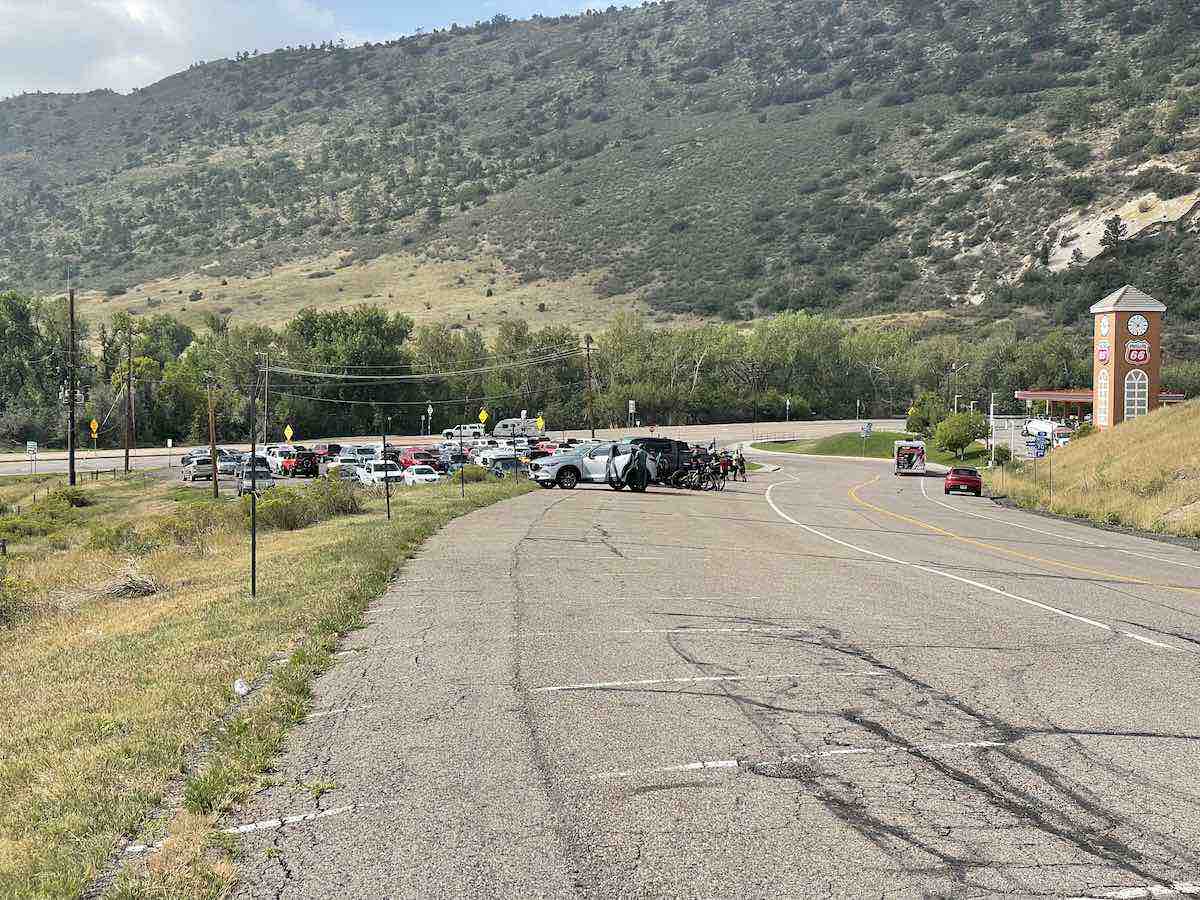
Starting Point: Park at the free park and ride in Morrison, CO across from the Conoco Phillips gas station at the corner of South Rooney Road and Morrison Road. https://goo.gl/maps/ePdkULXdHQ5VzgdV9
Ride Overview
When I want to get some distance in on a safe bike path in the Denver Metro/Front Range, one of my top choices for Denver Bike Rides is the C470 – Mary Carter Greenway – Bear Creek Bike Path Loop. The route is mostly flat, with only three uphill sections. If you’re visiting from out of town, this is a great ride to start with before tackling more challenging climbs like Red Rocks, Lookout Mountain, or Deer Creek Canyon.
This is also a very family-friendly ride, ideal for dads who are looking to get off the road away from cars or for those looking to pull their kids on a trailer. 99% of the ride is on multi-use bike paths, with one section at the end on a private maintenance road only used by golf course maintenance.
You can feel secure on this route as all the bike paths in this loop experience a significant amount of traffic. However, there is approximately a mile stretch once you get on the Bear Creek Trail that is not in optimal condition and you may encounter a few homeless camps along the way. Nevertheless, the remainder of the ride is safe and unproblematic.
The difficulty is rated a 3 out of 5 mostly due to the distance as none of the climbs are particularly long or steep.
The Ride
Start out at the Morrison free Park and Ride, which is a 20-minute drive west of Downtown Denver. There are plenty of parking spots around so you shouldn’t have to worry about getting there early.
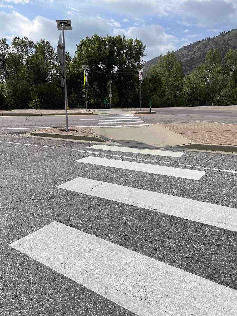
Once you are geared up and ready to go you will head south across Morrison Road using the crosswalk and get onto the C-470 trail heading west into Bear Creek Lake Park.
This will take you under the highway and shortly afterward you will take a right (instead of going to the main car entrance) and cross the bridge. You will now be in Bear Creek Lake Park
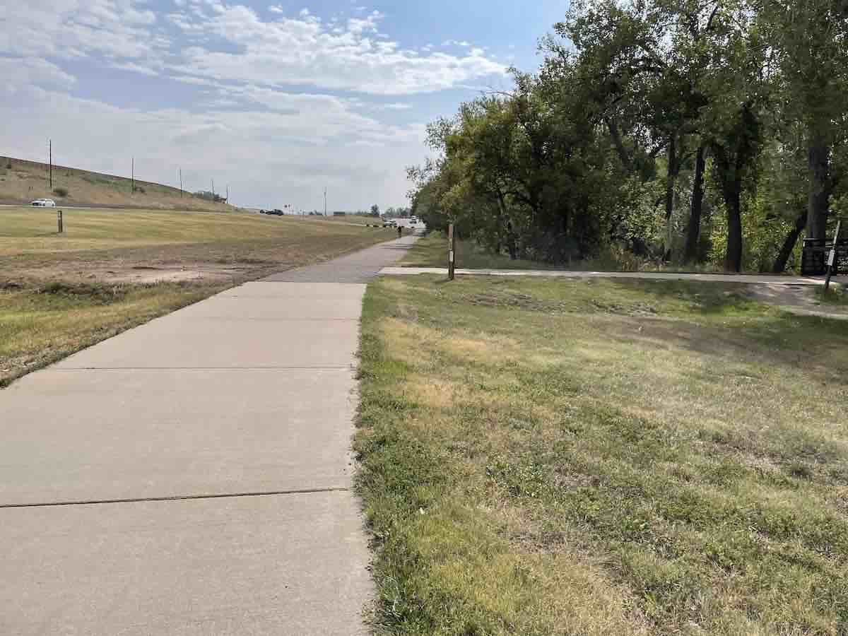
When you enter the park, you will remain on the bike path throughout your journey. As you begin, you will encounter a brief switchback that guides you directly through the center of the park, passing by the lakes. This will be the first chance for you to use the restroom facilities.
After the restroom, you will drop downhill slightly and cross a bridge where you will come up to an intersection, where you will want to take a right and start heading south.
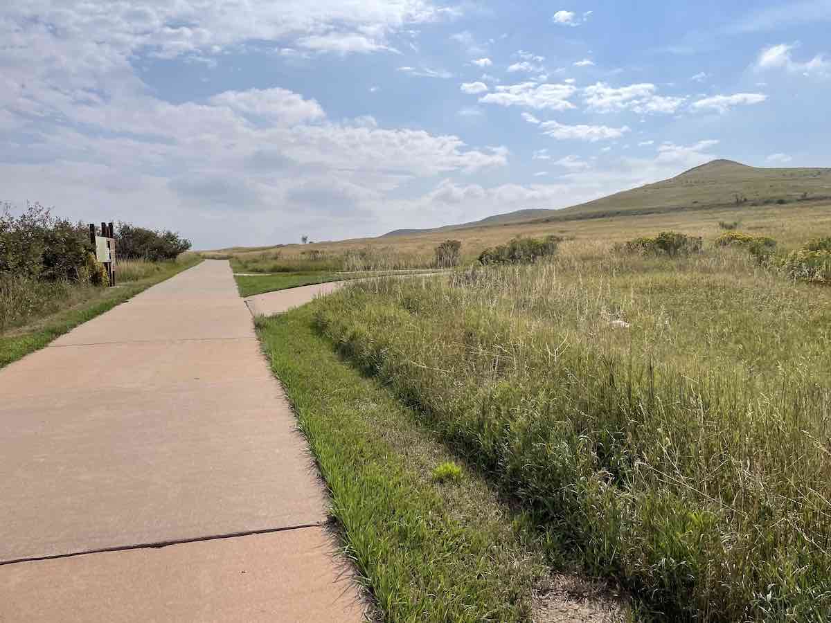
The first short climb is ahead of you, which takes you across Highway 285 and up a few short switchbacks. After the highway crossing don’t forget to look over your right shoulder and catch a glimpse of Red Rocks and Green Mountain!
Once at the top of the switchbacks you will leave the path for just a block and pass the Circle K gas station. You can stay on the sidewalk here and then cross the road via the crosswalk to get back on the bike path. Feel free to stop at Circle K if you need any refills, snacks, or bathroom breaks. Your next stop will not be until mile 18.
The next segment follows the highway until mile 12 once you enter Chatfield Reservoir. Here you will have to cross a few major roads, but all have crosswalks and signals, just a minor inconvenience as you will have to stop a few times. Despite the traffic noise, you are still treated to some magnificent views of the hogback along the front range.
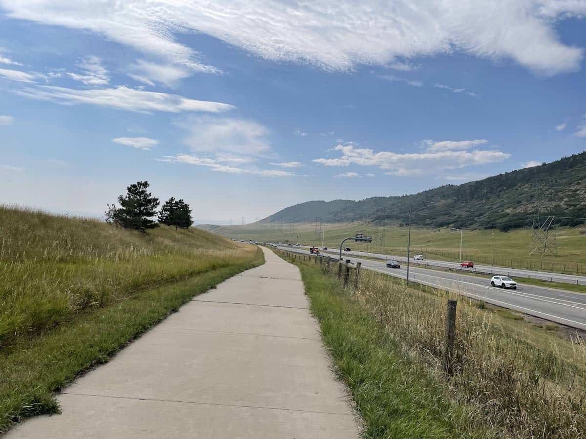
When you get to Kipling you need to make sure you take the crosswalk to the other side, do not continue going to the left heading north.
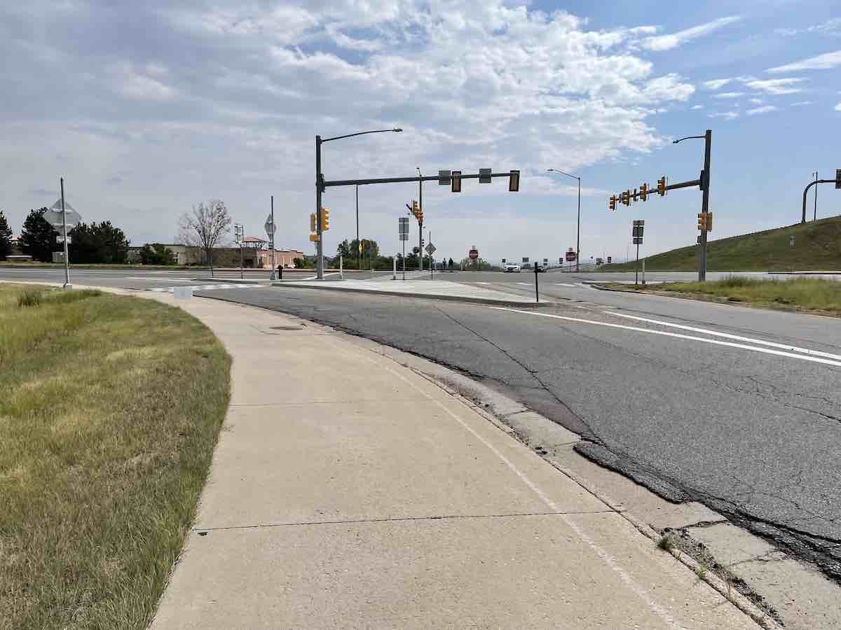
After Kipling, you will be treated with sweeping views to the southeast as you prepare to enter Chatfield State Park.
As you approach Wadsworth, you will head into a neighborhood. Do not turn left into it, cross over the road to the other side, which will take you to a tunnel to cross over the road.
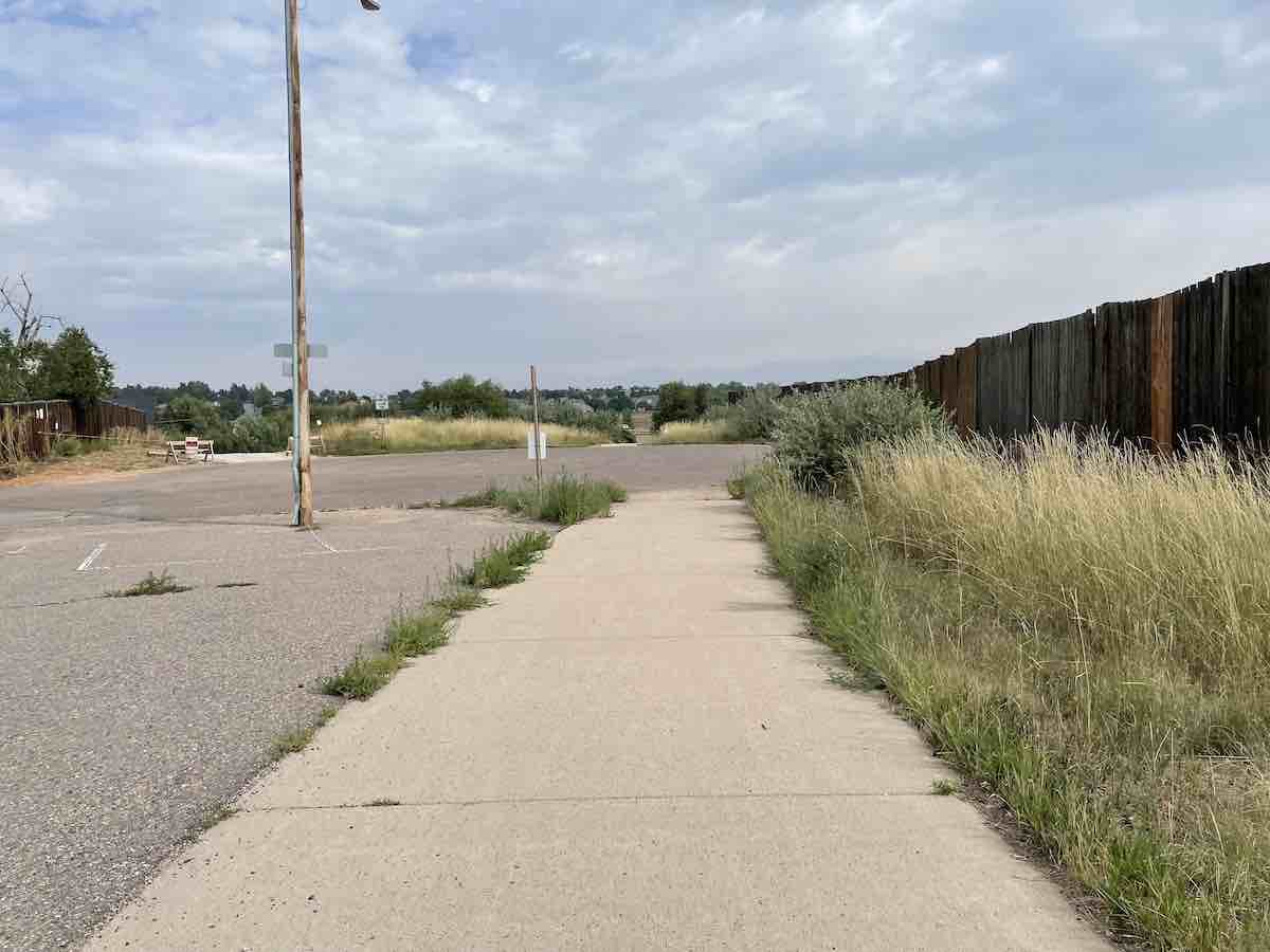
After getting to the other side of Wadsworth, you will drop down and quickly come to an intersection. Take a left here, do not continue straight. If you’re not paying attention, this is an easy turn to miss (and not well-marked).
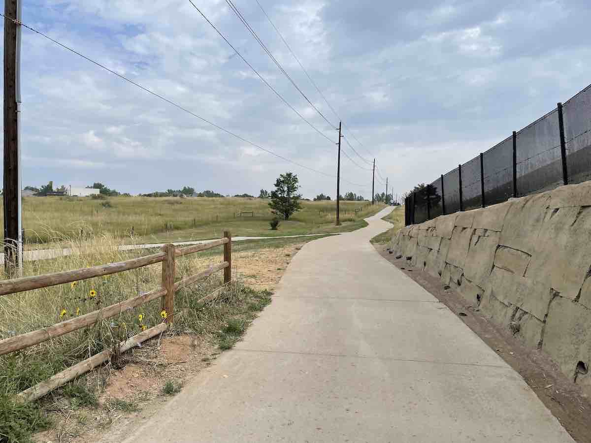
You will cross under C-470 via the tunnel (careful after heavy rain or snow it gets flooded and muddy) and then be in Chatfield State Park. Take the C-470 east trail right after the tunnel as you will not actually be going into the park. You will climb a short hill and be treated with views of Chatfield Reservoir, which serves as a water supply to the Denver area.
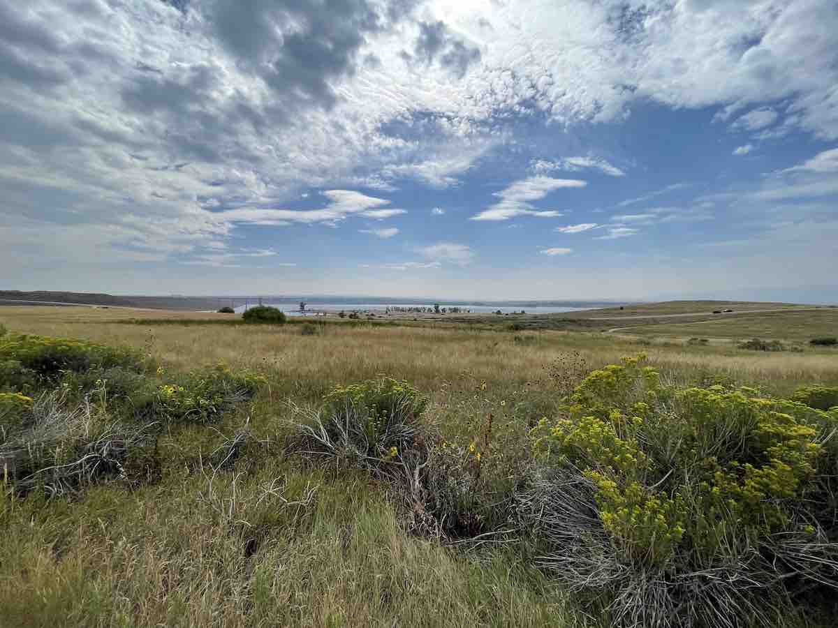
Once at the top, you will begin a non-technical descent where you will connect with the Mary Carter Greenway Trail, which takes you along the Platte River north back towards Denver. Warning: This is a high-traffic multiuse trail so be careful and keep your speed in check.
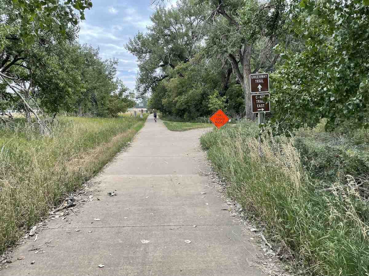
You will be on the Greenway Trail for the next 12 miles, passing through numerous roundabouts and crossing a few bridges. Just check the signage but the Greenway Trail continues on through all the roundabouts, no turn-offs.
In this next stretch you will have to stop options:
Stop Option 1: At mile 16.5, you can turn off at the roundabout and stop at Breckenridge Brewery, which offers Brewery tours and features a huge beer garden and a restaurant.
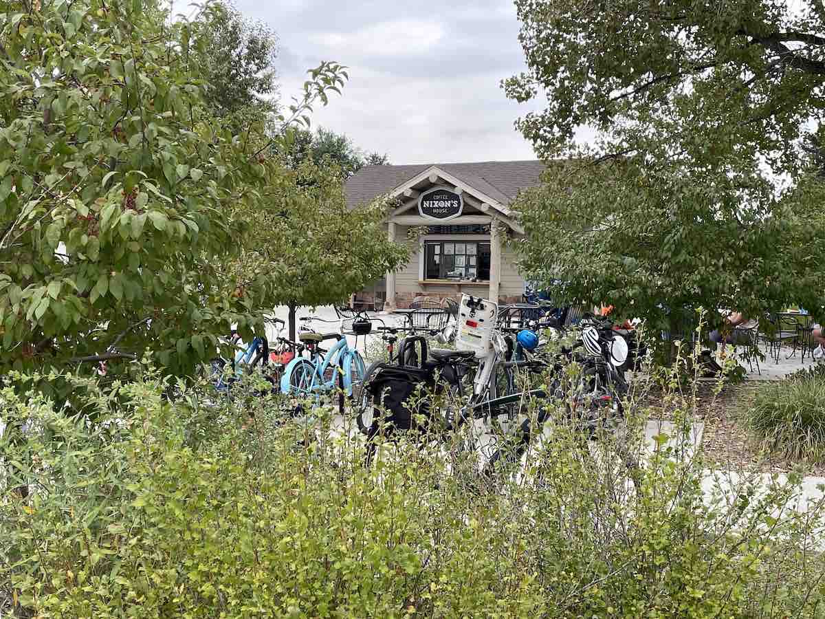
Stop Option 2: At mile 18 you have the option to stop at the Nixon outdoor coffee shop. There are restrooms and water fountains for refills. The coffee shop also has a variety of pastries. They are open year-round but have limited hours and days in the winter so check ahead.
After a stop, continue north on the trail following the Platte River until you reach the bridge crossing the river leading to the movie theatre parking lot. Here you have the option to continue right and take the Platte River Trail north towards Denver, but on this route, you will be taking a left onto the Bear Creek Trail heading West. On the Bear Creek Trail, you will be crossing back and forth over the river a handful of times. There is good signage so stay on Bear Creek Trail and when in doubt, take the turn that continues west towards the mountains.
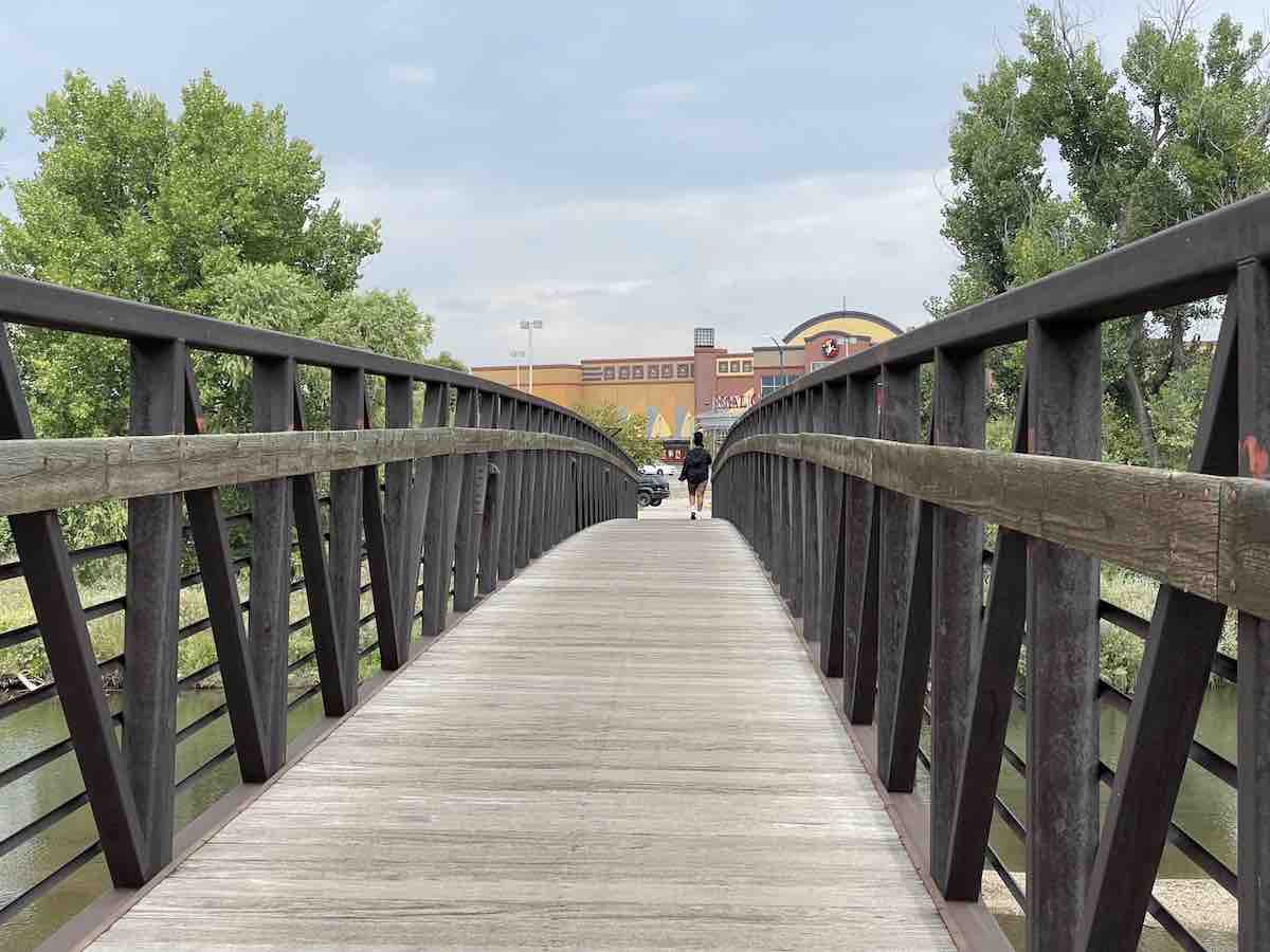
The least enjoyable part of the ride follows for the next five miles, as this stretch is a bit rundown. You may come across some homeless camps and a quarter-mile of rough path. However, your ride becomes pleasant again from mile 26 with the picturesque views of mountains and a newly renovated trail that will take you all the way back to your car.
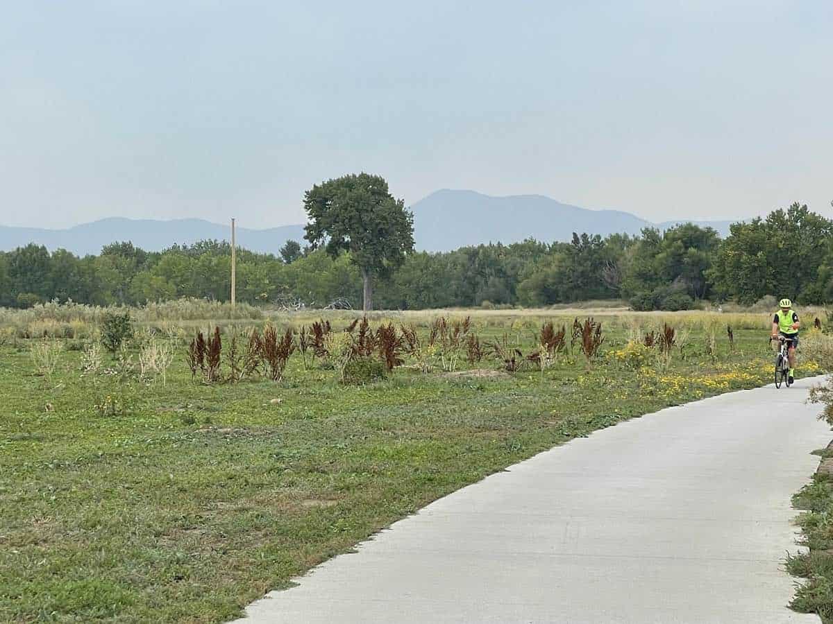
During this section of your ride, you’ll enjoy the shade of trees and the soothing sounds of a nearby stream as you follow Bear Creek. Eventually, you’ll emerge near the Fox Hollow Golf Course. Be sure to cross the road to the other side and take the path to the left. Follow the road along the course until you reach the Clubhouse. From there, you can hop onto a service road that’s used for maintenance and won’t have any cars to worry about.
After crossing through the gate, you will approach the final and hardest climb, Mt. Carbon. This is a 1.3-mile climb with 260 feet of elevation gain averaging just 4%, but at the top, you will have the option to stop and use the restroom as well as fill up your water. If you do not need to stop take a left and drop down into Bear Creek Park. However, I do recommend checking out the views!
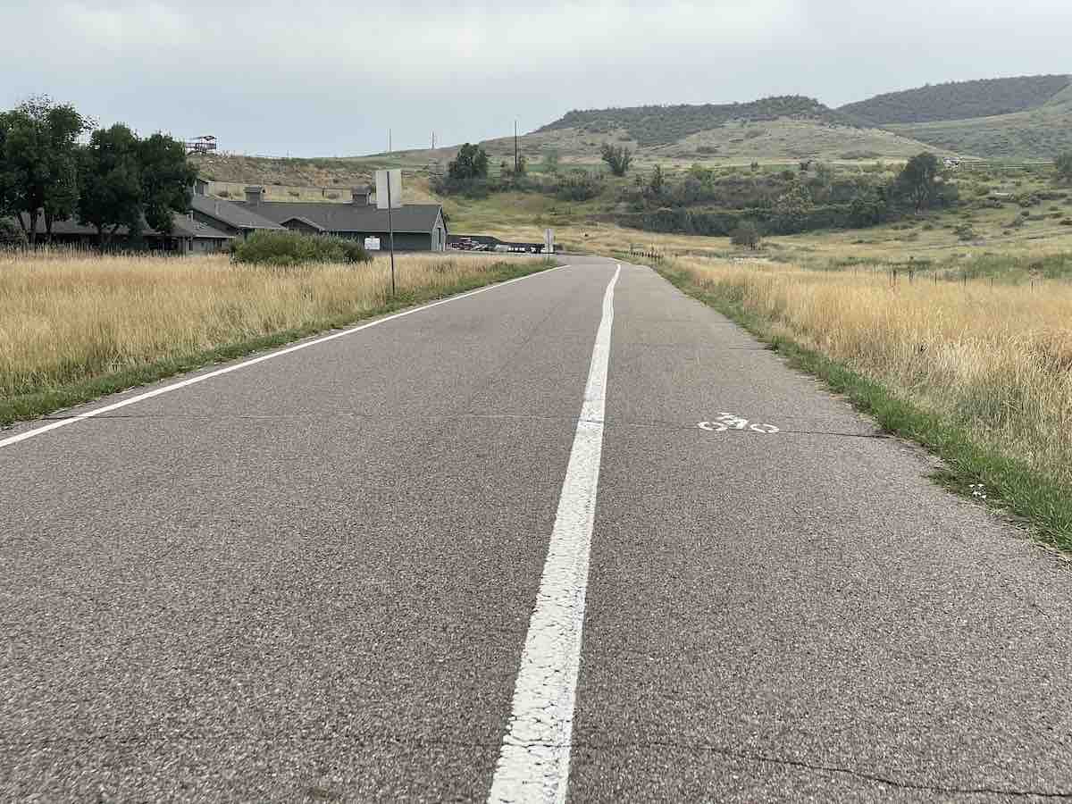
Descending down into Bear Creek Park from atop Mt. Carbon, the path will take you all the way back to the car where you started, most of this stretch should look familiar. Once you leave the park across the bridge make sure to take a left to head back towards Morrison, under the Highway and you will be back at the parking lot!
I hope you enjoyed the ride! Leave a comment down below if you tried the ride out. What did you like or dislike?

